
Precision Engineering Survey & DPR Consultants in Odisha and Pan-India
20+ Years of Excellence in Topographic & Geodetic Surveys
Government-registered survey consultants delivering accurate terrain mapping, drainage surveys, and detailed project reports across Odisha and Pan-India.
Our Services
Comprehensive Survey Solutions for Government & Private Sector
Topographic & Contour Surveys
Precise terrain mapping and contour delineation for infrastructure planning, road design, and DPR preparation. Sub-meter accuracy using SOKKIA Total Stations.
Learn MoreGPS & Geodetic Surveys
High-precision positioning using DGPS technology. Ground control point establishment and benchmark surveys for large-area mapping projects.
Learn MoreConstruction Surveys
Real-time staking, set-out, and as-built documentation for construction projects. Precise alignment control and progress monitoring.
Learn MoreEarthwork & Volume Surveys
Accurate cut-fill calculations, stockpile measurements, and progress billing documentation. Essential for earthwork contractors and project managers.
Learn More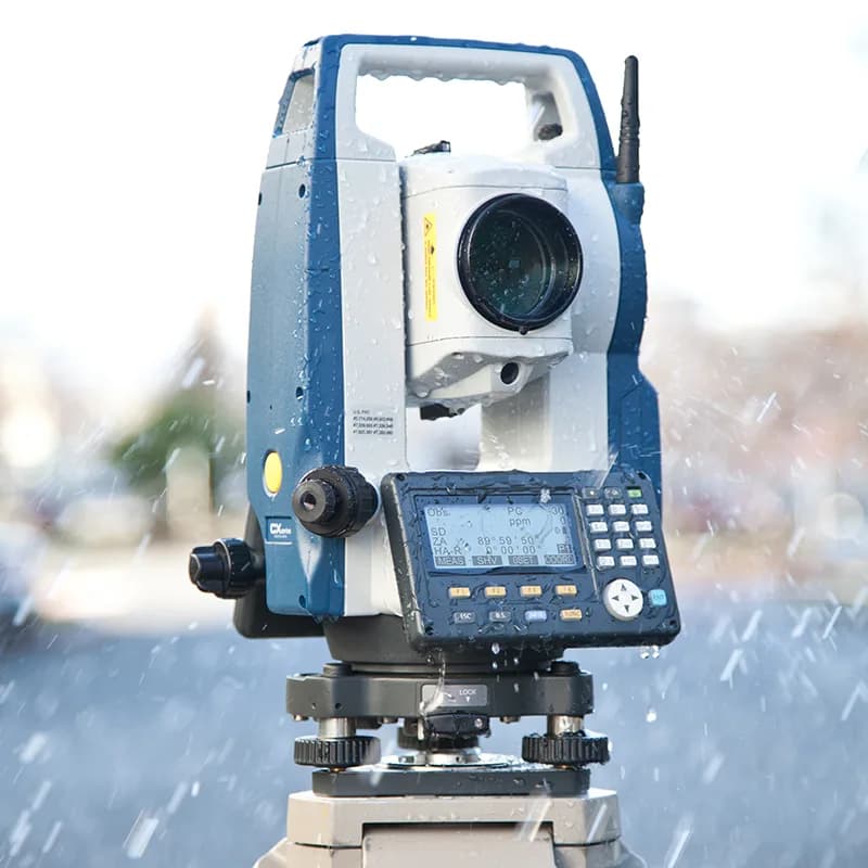
Precision Equipment
We invest in top-tier survey equipment to ensure every measurement meets the highest standards. Our SOKKIA Total Stations and DGPS systems deliver the accuracy that government projects demand.
- SOKKIA CX-105 Total Station - 5km prism range, 500m reflectorless
- DGPS Receiver - Centimeter-level positioning accuracy
- ESurvey CADD - Professional survey processing software
Ready to Start Your Project?
Get a free consultation and detailed quote for your survey requirements